New Index Available
March 12, 2017
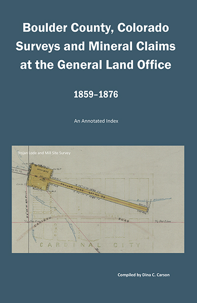
Boulder County, Colorado Surveys and Mineral Claims at the General Land Office, 1859-1876: An Annotated Index
The Boulder County, Colorado Surveys and Mineral Claims at the General Land Office, 1859-1876: An Annotated Index contains the names of the mine owners (claimant), surveyors and survey crew members, along with the mines and their range and township information. One additional piece of information was added when found—cabins, houses, barns, buildings, bridges, boarding houses, mills, toll roads, wagon roads, creeks and rivers. Using those listings is one way to see what was built where during these early mining days.
It’s available at http://www.irongate.com.
Early Land Owners Along the St. Vrain River, Nebraska and Colorado Territories, 1858-1861
December 30, 2015

The Early Land Owners Along the St. Vrain Creek, Colorado Territory, 1860-1861 is comprised of the recorded land records from four different sources of the same area and time period.
The Record Book of Franklin Township Land Claims (along St Vrain Creek), 1860.
The Record Book of Troy District Land Claims (along St Vrain Creek), 1861
The St Vrain’s Land Club’s Land Claims, 1861
The St Vrain County Land Claims, 1858-1861
These original land club claims records are available for research in the Carnegie Branch Library for Historical Research in Boulder, Colorado and the archives of the Denver Public Library in Denver, Colorado.
The men and women in these claims were among the first to build cabins and begin farming and ranching in what is now Boulder and Weld Counties, Colorado.
Available at: http://www.irongate.com/pages/St_Vrain.html

